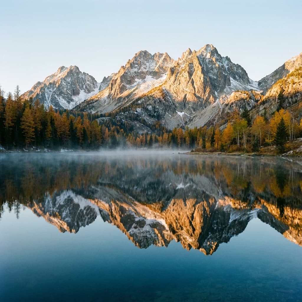
One Place to Plan
Idaho Adventures.
Roam Idaho brings key Idaho Fish & Game references, map layers, and weather context into one planning interface while keeping official agency sources close at hand.
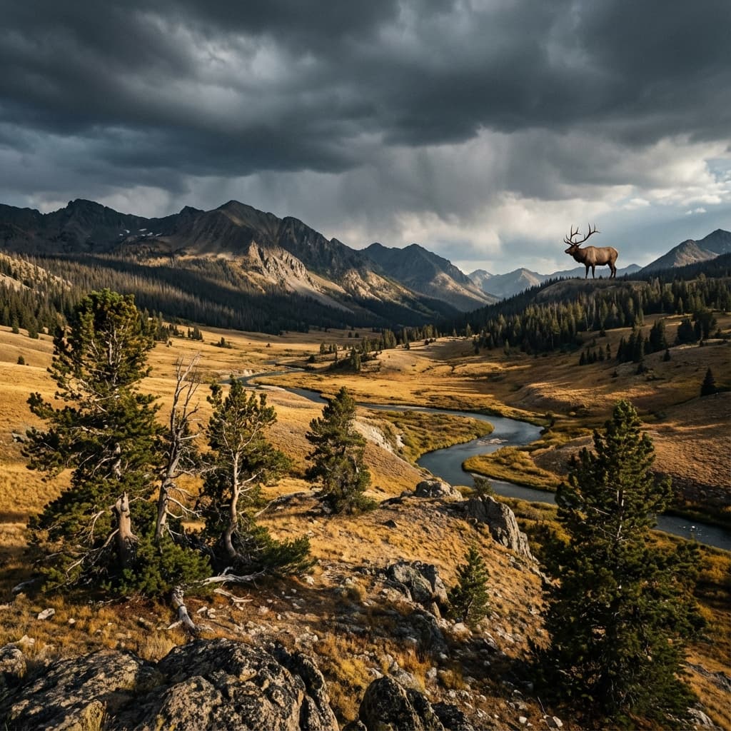
Hunting Headquarters — Idaho Season & Unit Intelligence
The Hunting HQ organizes Idaho Fish & Game schedules and unit data into a searchable planning interface. Season status is calculated from the published dates and should always be confirmed with IDFG.
- Date-based season status by GMU
- Species-specific regulations
- Unit boundary overlays
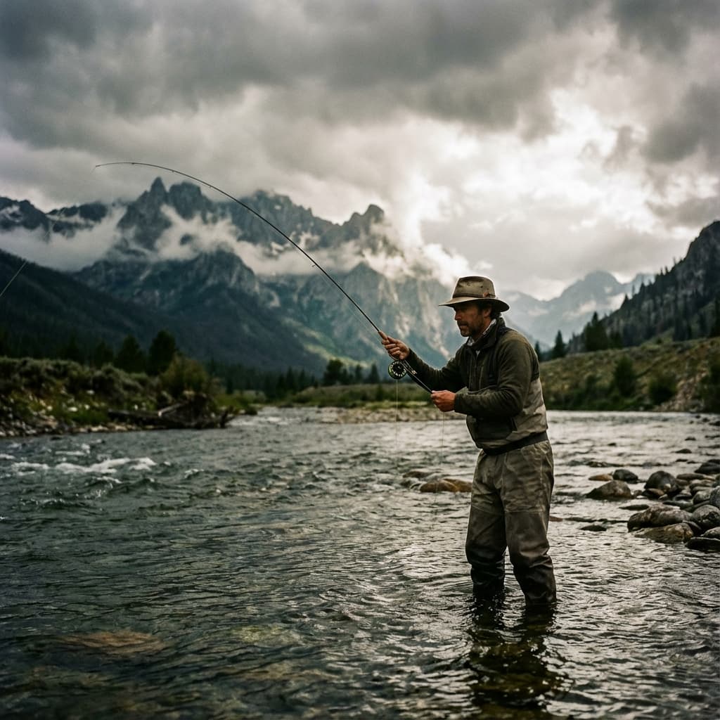
Fishing Intelligence — Idaho Lakes, Rivers & Stocking Data
Idaho’s fishing opportunities are spread across thousands of lakes, rivers, and access points. Roam Idaho combines stocking history, published rules, access records, and current USGS streamflow where gauges are available.
- High-mountain lake discovery
- Stocking history by species
- River access point visibility
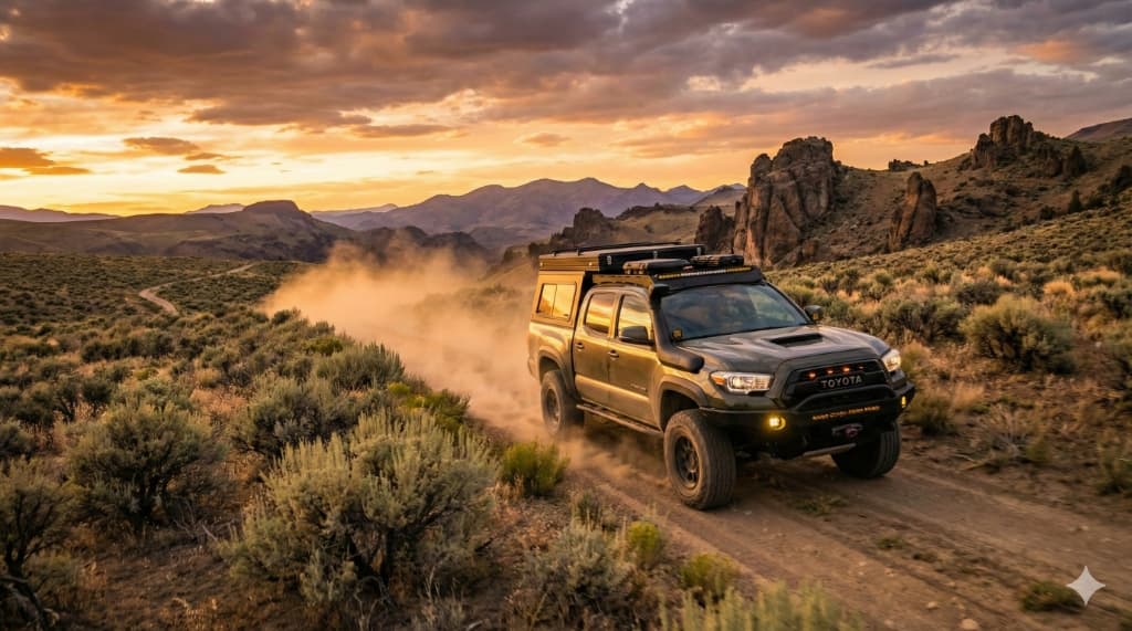
Offroad Headquarters — Public Land & Trail Access
Browse Idaho trail records alongside BLM recreation areas, National Forest context, and route notes. Use the details as a starting point, then confirm current closures with the managing agency.
- BLM surface-management overlay
- Recreation-area and National Forest context
- Published trail notes and difficulty labels
Public Land Mapping — Know Where You Stand
Roam Idaho displays BLM surface-management data and selected public-agency recreation layers for planning context. It does not currently provide parcel-level private ownership and cannot determine whether you may legally enter a location.
- BLM Land
- National Forest
- GMU Boundaries
- Recreation Areas
Connection Required WEB
The current interactive maps need a data connection. Before entering the backcountry, carry an official offline map or downloaded MVUM from the managing agency. Dependable Roam Idaho offline downloads are not available yet.
Never rely on a connected web map as your only navigation tool.
Purpose-Built for Idaho
Roam Idaho is engineered specifically for Idaho’s regulatory structure, terrain, and seasonal rhythms.
Real-World Use Cases
- Planning a late-season elk hunt in Unit 39
- Reviewing public-land context before confirming official ownership sources
- Checking stocking records before a multi-hour drive
- Finding access records to verify with the land manager
- Planning trips around weather and moon phase windows
Explicit Idaho Signals

Wilderness Intel in Your Pocket.
The planned mobile app is intended to add dependable offline downloads and field-first navigation. Those capabilities are roadmap items, not features included with today's web subscription.
Built in Boise
An independent Idaho project with a simple rule: advertise what works today, and label the roadmap as the roadmap.
Common Questions
Is Roam Idaho free to use?
Core guides and resources are free to browse, and the hot-springs map is available with a free account. Hunting, fishing, offroad, shooting, and camping maps require Pro at $3/month or $30/year.
Does Roam Idaho replace Idaho Fish & Game regulations?
Roam Idaho does not replace official proclamations. It organizes Idaho Fish and Game data for planning; always confirm regulations with IDFG.
Do I need cell service?
Yes. The current web maps require a data connection. Dependable offline region downloads are not available yet, so carry an official offline map in the field.
Where does the data come from?
Season data is sourced from Idaho Fish and Game materials. Map overlays include BLM surface-management and other public-agency recreation data.
Is Roam Idaho only for Idaho?
Yes. Roam Idaho focuses on Idaho destinations and agency sources. Coverage varies by activity and location; confirm critical trip details with the source linked on each guide.
Ready to Head Out Smarter?
Stop juggling tools. Get the intelligence you need in one place.
Create Free AccountOpen Beta · Built in Idaho