Loading intel...
Our Mission
Mapping the Unseen Idaho.
Roam Idaho started with a simple question: Why are the best hunting and fishing tools owned by multi-billion dollar corporations that don't live where we live?
Independent Ownership
We are 100% self-funded and Boise-based. No venture capital, no corporate masters, and no selling your location data to the highest bidder.
Intelligence First
We don't just show dots on a map. We process thousands of regulation changes, stocking records, and public land markers to give you a strategic edge.
Built for Accuracy
Unit boundaries and agency data are shown with their sources so you can plan carefully, then confirm critical field decisions with the official managing agency.
A Tool for the Locals.
My dad and I spent the most relaxing, happiest stretches of my life outdoors — camping and fishing wherever the road took us. Eventually that road took me to Idaho.
I'm not a native here. But the moment I stood on a Sawtooth ridgeline at first light, I understood why people stay.
Roam Idaho started because I kept opening apps built by people who don't actually live here. Multi-billion dollar companies writing about Idaho from offices in other states. None of them were going to know what Idaho actually feels like, or which trail closes earlier than the agency PDF says, or which hot spring is named for two different drainages depending on who you ask.
So I built it myself. Roam Idaho is for the locals — the ones who actually live here, hunt here, fish here, drive the back roads here. Whatever your outdoor activity, this is meant to be your resource.
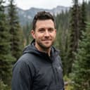
Taylor Foad
Founder · Built in Boise
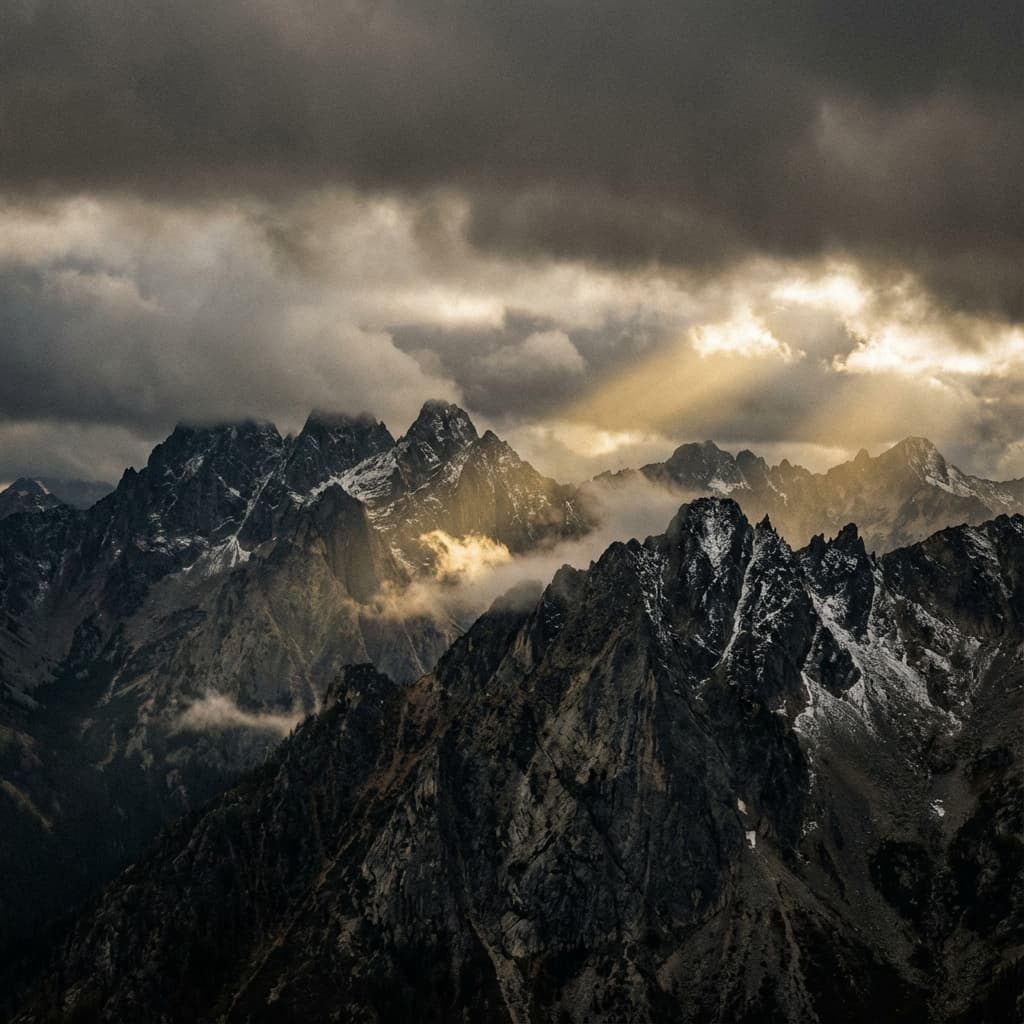
Sawtooth Range
Built In
BOISE
Boots on the Ground
We verify our data in the field. From the Owyhees to the Selkirks, we build what we use.
Ready to Roam?
Join the community of hunters, anglers, and explorers building the future of Idaho public land intelligence.