Loading intel...
Back to Map ResourcesPublic Land
Essential Field Logic
Public Land
Access Guide.
Last reviewed: May 2026
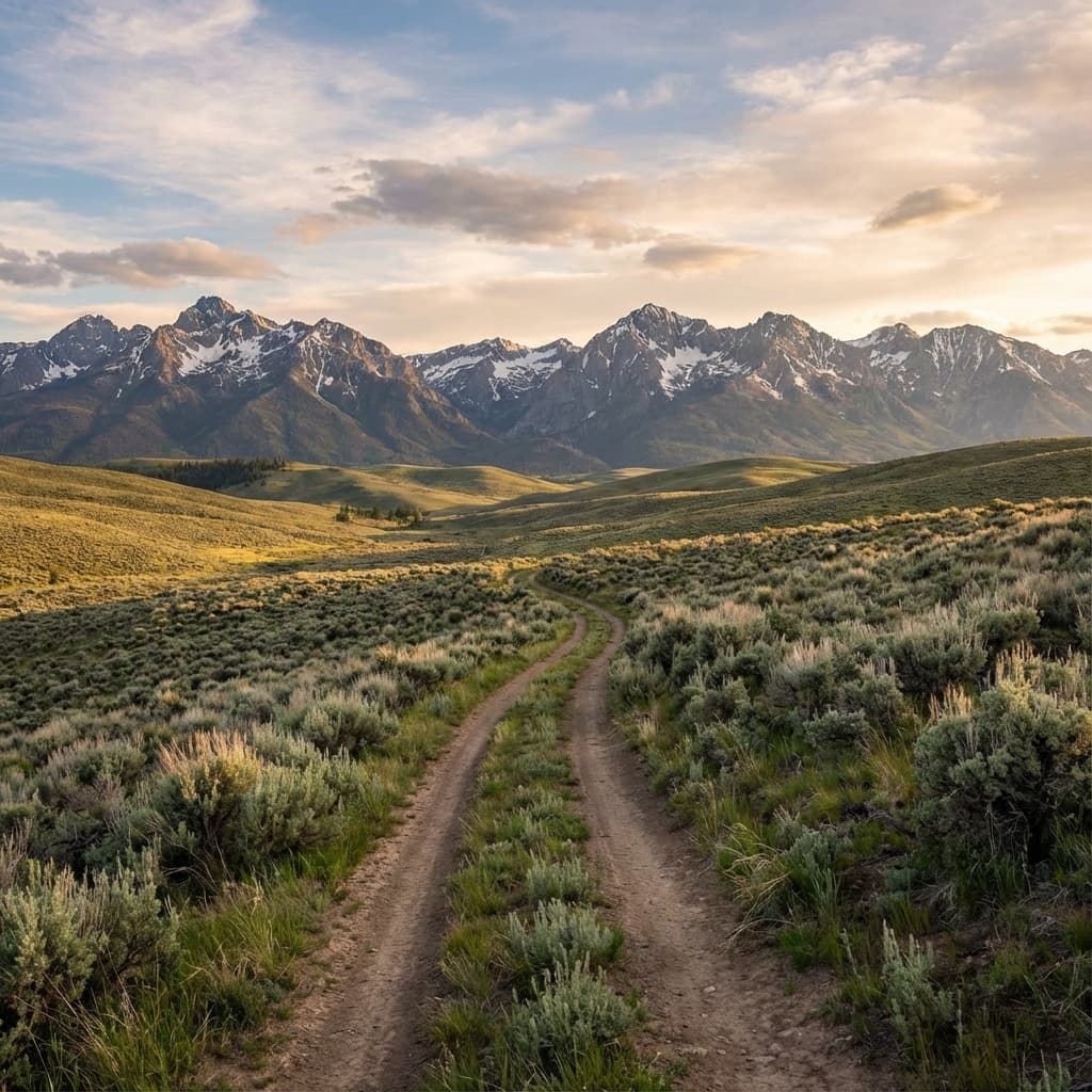
Idaho is over 60% public land, but rules vary drastically between agencies. Knowing the difference between BLM, Forest Service, and State Endowment Land is critical for legal hunting and camping.
Bureau of Land Management (BLM)
Yellow on Map
Managed for multiple use, BLM land is typically lower elevation sagebrush steppe. It offers the most flexible access for dispersed camping and backcountry utility.
Allowed: Camping: Allowed anywhere (14-day limit).
Allowed: Off-Road: Open on all existing routes.
National Forest (USFS)
Green on Map
High-elevation timbered areas managed by the USDA. Access is widespread, but motorized travel plans (MVUM) are strictly enforced to protect watershed and habitat.
Allowed: Camping: Dispersed camping allowed (14-day limit).
Restricted: Motorized: STRICTLY limited to MVUM routes.
State Endowment Land
Blue on Map
Critical Distinction: These lands are constitutionally mandated to generate revenue for schools. They are NOT "public" in the same way federal lands are.
Recreation — Allowed
Camping — Not Allowed
Resource Collection — Not Allowed
The "Corner Crossing" Warning
In the West, millions of acres are "landlocked" in a checkerboard pattern. Corner Crossing (stepping from one public parcel to another over a shared corner with private land) is currently a legally grey area in Idaho.
While recent Wyoming court rulings favored corner crossing, Idaho law has not explicitly validated it. Many sheriffs still cite for trespass. Proceed with extreme caution.