Where the desert meets the pines
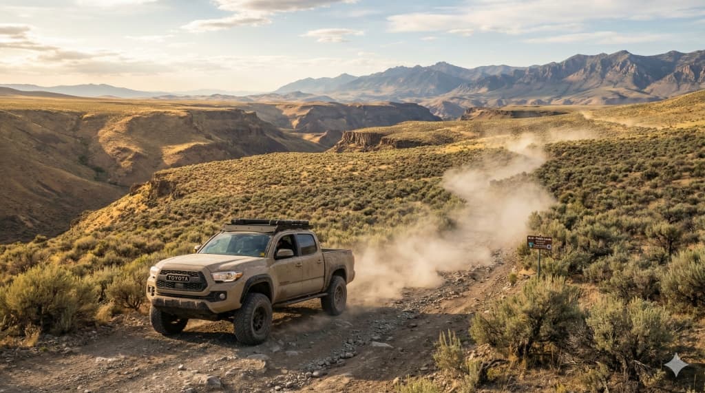
Southwest Idaho is one of the most varied off-road regions in the West. South of the Snake River, the Owyhee Canyonlands stretch toward Nevada — a million-plus acres of BLM land where Jordan Craters, Leslie Gulch, and the Owyhee Reservoir define a high-desert character closer to Utah than the rest of Idaho. North of the river, the Boise National Forest climbs into ponderosa, fir, and granite, with classic routes through Idaho City, the South Fork of the Payette, and the historic mining basin around Atlanta and Yellow Pine.